Boroszlán Nature Trail
The "Nature Trail of the Year 2015 in the a Balaton-felvidéki National Park"
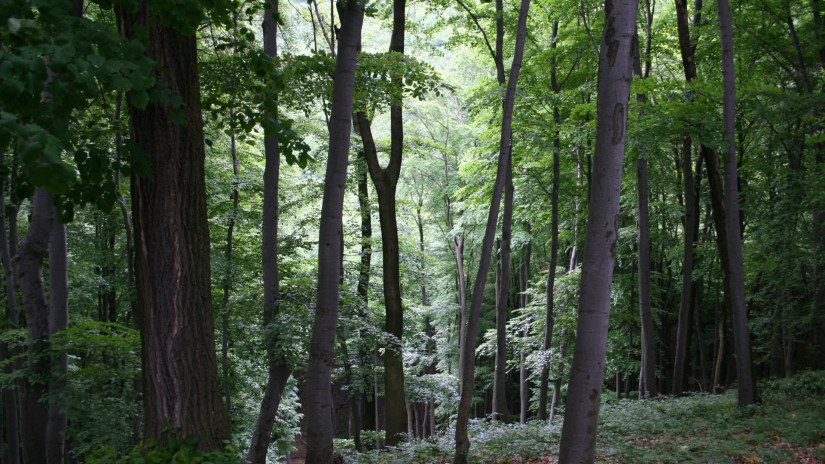
The Boroszlán Nature Trail was established in the Magas-bakonyi Landscape Protection Area, on the Kőris Hill’s side. Its information boards, renewed in 2014, reveal the geological history of the surroundings; interpret the geological formations (e.g. Odvas-kő cave) and the wildlife of the area.
The 7 km long trail with an elevation of 270 m has a 2 km long shortcut with 140 m elevation. The trail starts to the North from 240 m above sea level, from the gorge of Gerence creek. It leads up to the top level of Kőris Hill and turns back from 520 m above sea level, going back to the car park along the Öreg-Szarvad Valley. The shortcut version turns back from Odvaskő Cave (stop 3) via a stairway to the valley, from where you can reach the starting point with a short walk. The trail is free to visit and a guided hike can be ordered in advance.
Starting point:
GOOGLE MAPS
GPS: 47.283732,17.709937
Stations:
1 Formation of the Bakony Mountains
2 Forests of the High Bakony
3 The Odvas-kő Cave
4 A world of gorges
5 Birds of the High Bakony
6 Forest protection model area
7 Bakony–Balaton Geopark
8 Limestone, karst and karren formations,cave formations
It can be visited freely during the whole year.
More information: Downloads (in Hungarian)
Attyai Fen Nature Trail
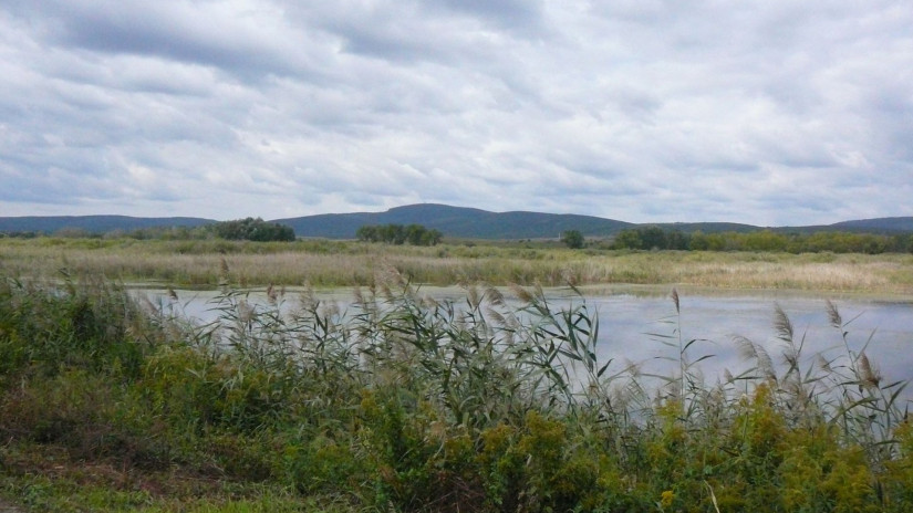
Attyai fen is one of the valuable protected areas of Bakonyalja near Pápa. The nature protection interventions and the rich wildlife are presented for the visitors by a 6-station education trail.
It can be visited freely during the whole year.
More information: Downloads (in English too)
'Miklád' Nature Trail
It is located a couple of kilometres north-east from Veszprém, next to Gyulafirátót and is surrounded with slightly higher dolomite surfaces from the Triassic period from three direction. Rainwater collected on the northern karstic surfaces flows under the surface towards the natural depression of Miklád. They clayey sediments from the Miocene period of the basin, however, force the karstic water to the surface.
Miklád is characterized by moorlands, wet meadows and small bogs with small slow-flowing rivulets that keep them wet all the time.
It can be visited freely during the whole year.
'Aknabarlangok' Nature Trail
It can be found on the Tési-plateau. It can be visited freely during the whole year.
Starting point: 47.269851, 18.053525
Distance: 5,6 km
'Csengő' Nature Trail
Starting point: Olaszfalu: 47.240709, 17.914398
Distance: 10 km
It can be visited freely during the whole year.
'Bazaltkarszt' Nature Trail
The Kab Mountain has a unique, basalt-covered karstic structure.
Starting point: 47.043294, 17.588436
Distance: 6km
HIKING CLOTHES, HIKING SHOES ARE RECOMMENDED ON ALL OUR NATURE TRAILS.

